Skip to the planner
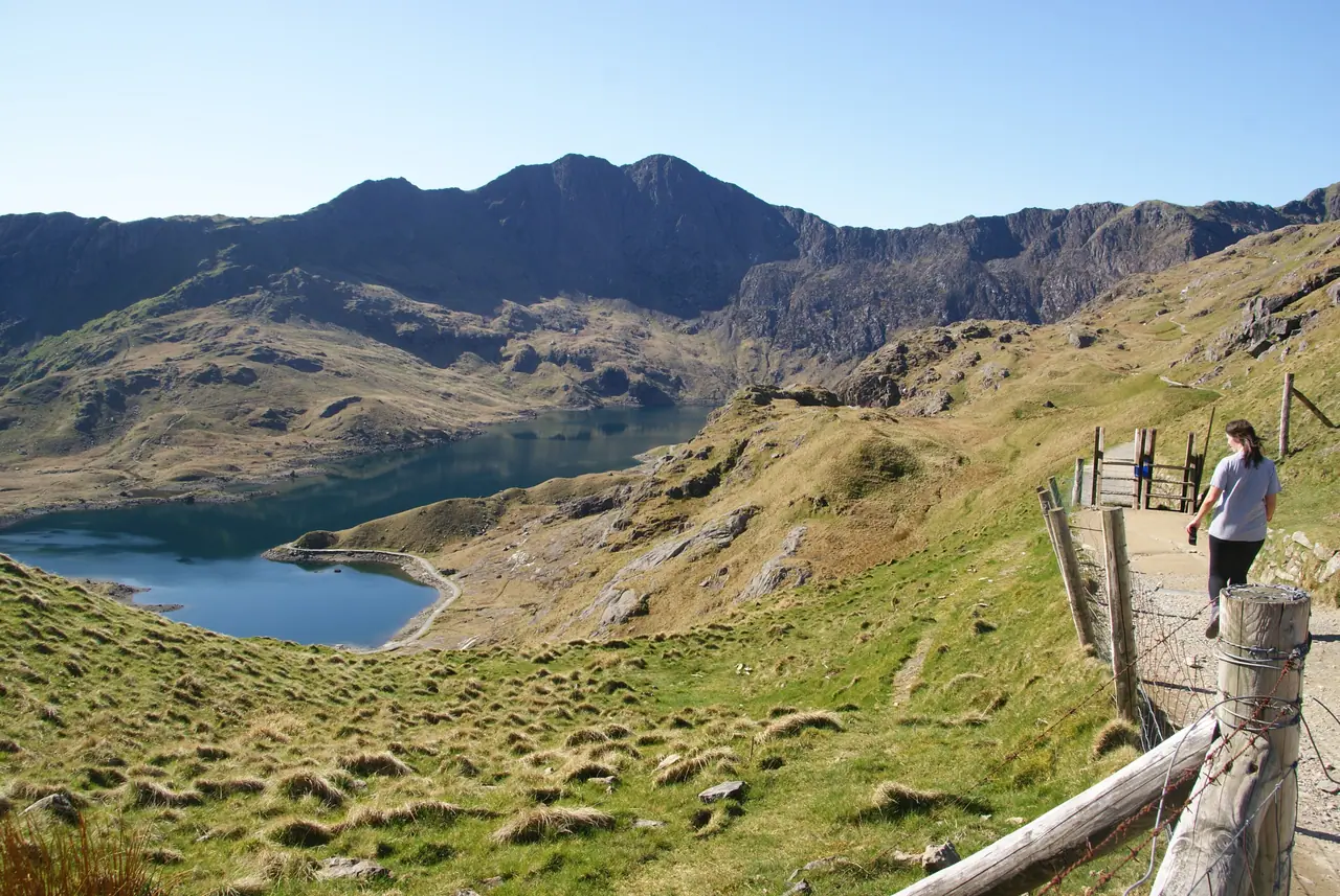
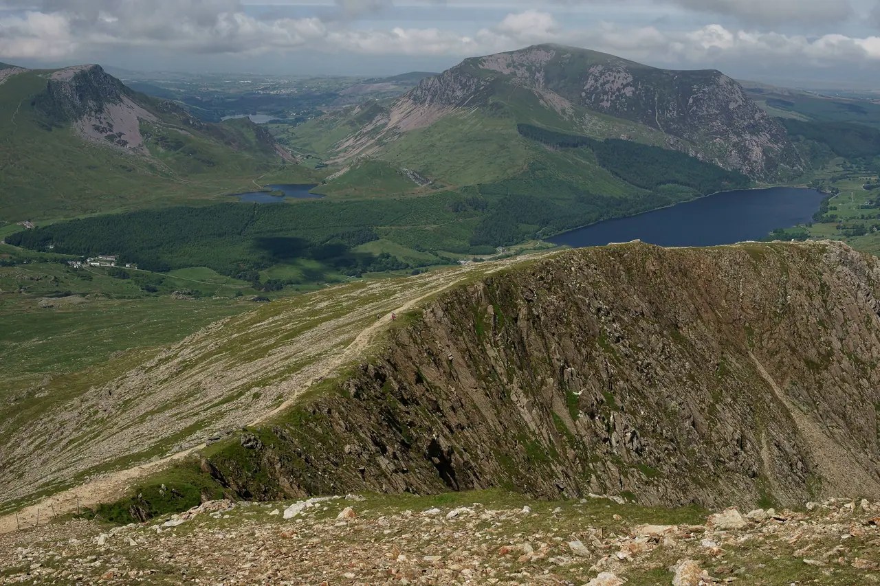
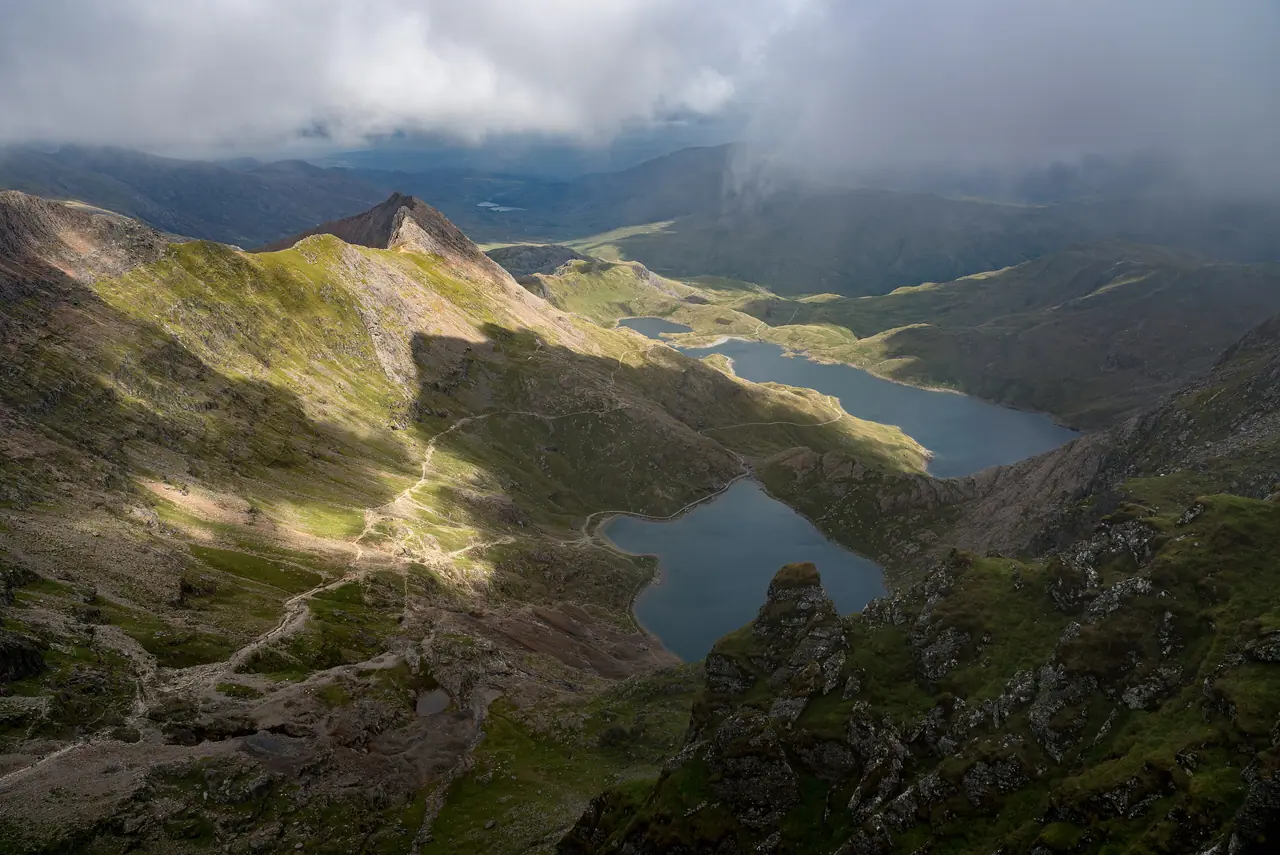
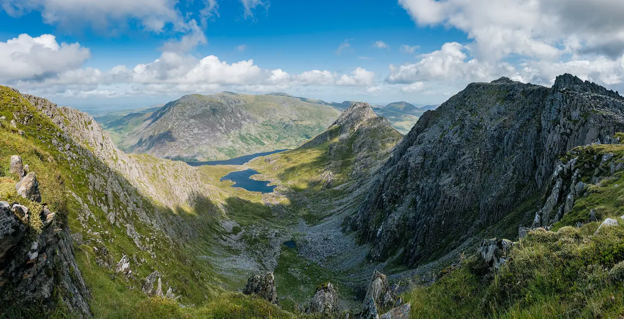
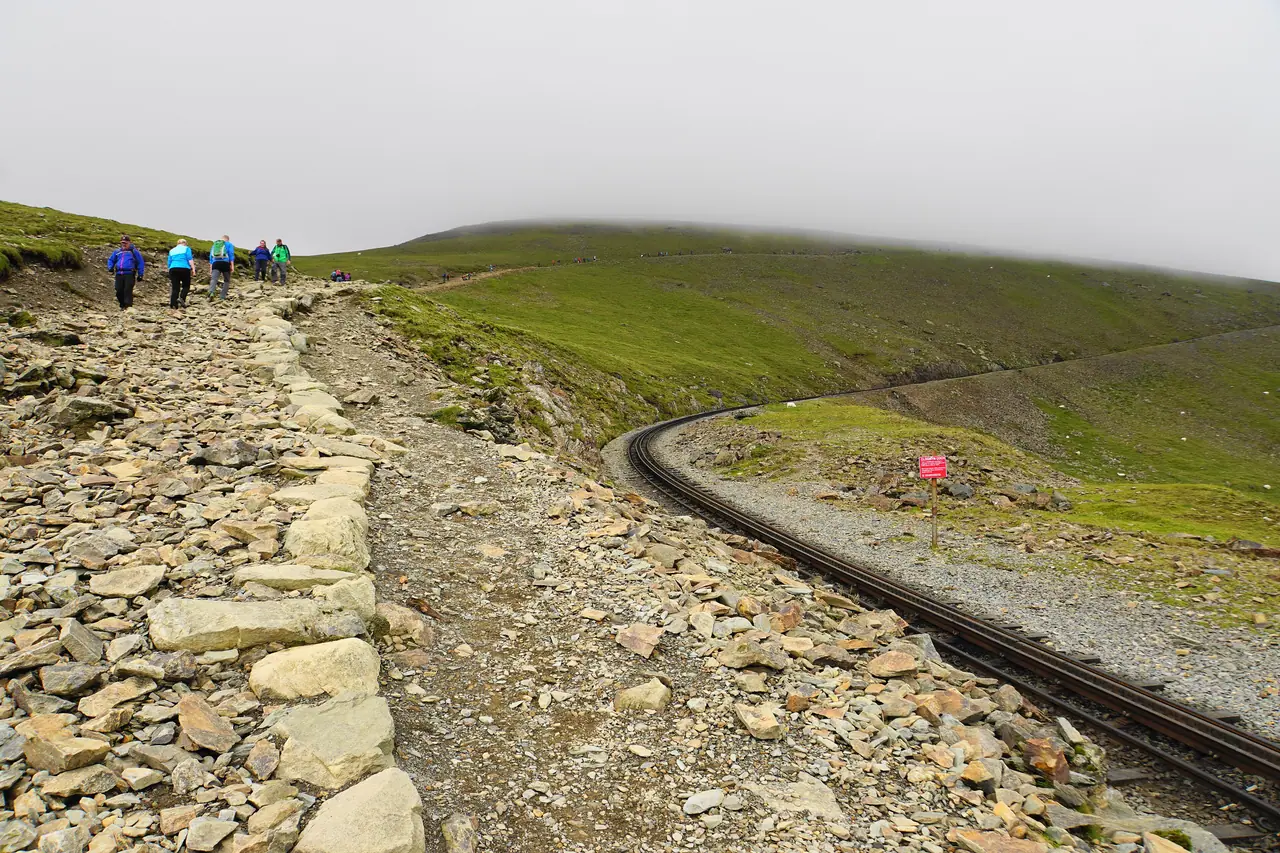
Llyn Llydaw seen from near the summit of Yr Wyddfa, with Crib Goch top left
Yr Wyddfa · 1,085 m · Eryri

Snowdon day planner: The clearest way to plan a day on Yr Wyddfa

Live summit weather, your latest safe start, the six paths side by side, and where to park or catch the Sherpa bus. Free, with no sign-up.

Every figure checked against Eryri, Sherpa'r Wyddfa and Open-Meteo on 20 October 2026.

Llyn Llydaw from near the summit of Yr Wyddfa, with Crib Goch top left. Photo: Julian Herzog, CC BY 4.0

Yr Wyddfa summit · 1,085 mLive forecast
Strongest gust at the summit today
-- mphLoading


Strongest gust, next 4 days
    Latest safe start --:--
    Feels likeColdest it will feel at the summit today--
    Full wind forecast Bands are our rules of thumb,
    not official thresholds
    1,085 mSummit height (3,560 ft)
    600,000+People reach the summit each year
    6–8 hrsTime to allow, there and back
    £7.50Sherpa'r Wyddfa adult day ticket

    Summit conditions, as a live ticker

    Seven days of forecast for the top of Yr Wyddfa: gusts, feels-like temperature, rain and freezing level, with the change from the day before.

    Work out my start time

    Forecast: Open-Meteo, 53.0685, -4.0763, 1,085 m. "Our read" uses our own rules of thumb, not official thresholds.

    Loading the live forecast…

    Gusts in mph at the summit. Arrows compare with the day before.

    Plan your day

    Pick a path, your pace and a day. We work back from sunset to your latest safe start, and show the summit wind for that day.

    Path
    Your pace
    Day
    Summit wind todayStrongest gust forecast at the summit, 1,085 m
    --Average for the day
    -- mphLoading


    Latest safe start
    --:--
    Sunrise--
    Sunset--
    Walking--
      Gusts by hour, today06:00 to 20:00, mph
      Calm to breezy: under 35 mphHard going: 35 to 49 mphDangerous: 50 mph or moreThe 35 and 50 mph lines are our own rules of thumb, not official thresholds.

      Latest safe start = sunset, minus Eryri's path time and your extra hours, minus a 60-minute buffer. Also check the Met Office mountain forecast and MWIS.

      See the six paths in 3D

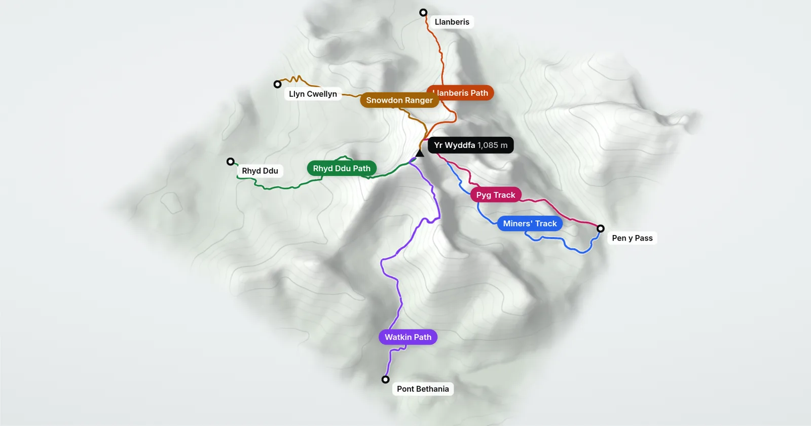
      A model of Yr Wyddfa built from real elevation data. Drag to turn it, then pick a path to fly to it and see where it starts.

      3D view of Yr Wyddfa seen from the south, with the six paths drawn in colour from their starts to the summit

      Six paths, one summit

      All six paths meet at the summit of Yr Wyddfa, 1,085 m. Pick a path above to fly to it.

      Start of a pathSummit, 1,085 mPaths, coloured as the buttons aboveHeights exaggerated 1.6 times. Not for navigation.

      3D terrain: AWS Terrain Tiles (Mapzen); EU-DEM, produced using Copernicus data funded by the EU; SRTM and GMTED2010, USGS. Path lines © OpenStreetMap contributors (ODbL). Rendered with Three.js (MIT).

      Compare the six paths

      Tap a column to sort. Distances are there and back; times are Eryri's estimates for fit, experienced walkers.

      See the paths
      PathDistance ↕Ascent ↕Time ↕2025 count ↕StartBus
      14.5 km
      975 m
      7 hrs Not counted in 2025Far end of Victoria Terrace, LlanberisS1S2
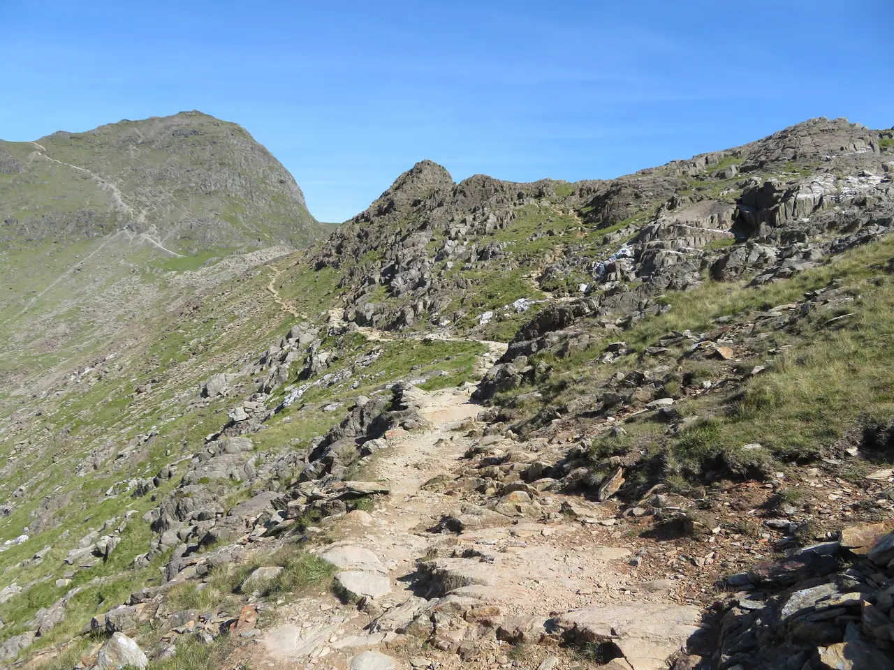
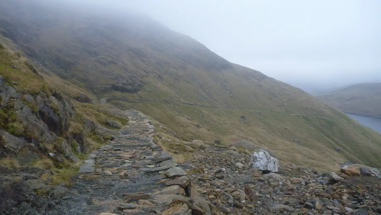
      The Pyg Track at Bwlch y Moch
      Pyg TrackPopular
      11 km
      895 m
      6 hrs 127,491Pen y Pass car parkS1S2S5
      13 km
      723 m
      6 hrs 91,965Pen y Pass car parkS1S2S5
      Looking back to Snowdon from the Watkin Path
      Watkin PathNot popular
      13 km
      1,015 m
      6 hrs 51,362Pont Bethania car park, Nant GwynantS4
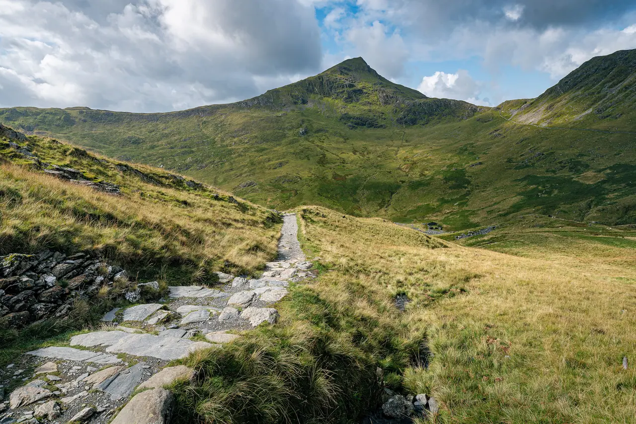
      From the Rhyd Ddu Path: the Llechog ridge and, far off, Llyn Cwellyn
      Rhyd Ddu PathNot popular
      12 km
      not published
      6 hrs 20,490Rhyd Ddu car park, off the A4085S3
      Snowdon from the Snowdon Ranger path
      Snowdon RangerNot popular
      13 km
      936 m
      6 hrs 21,294Llyn Cwellyn car park, off the A4085S3

      Sources: Eryri route pages; one-way counts from the Eryri Visitor Monitoring Report 2025 (the Llanberis Path was not counted in 2025). Eryri does not publish an ascent for the Rhyd Ddu Path.

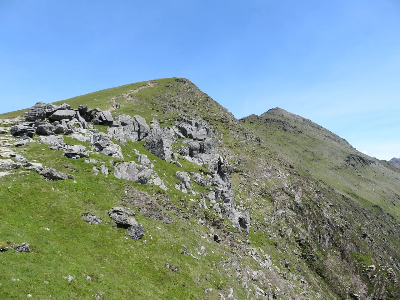
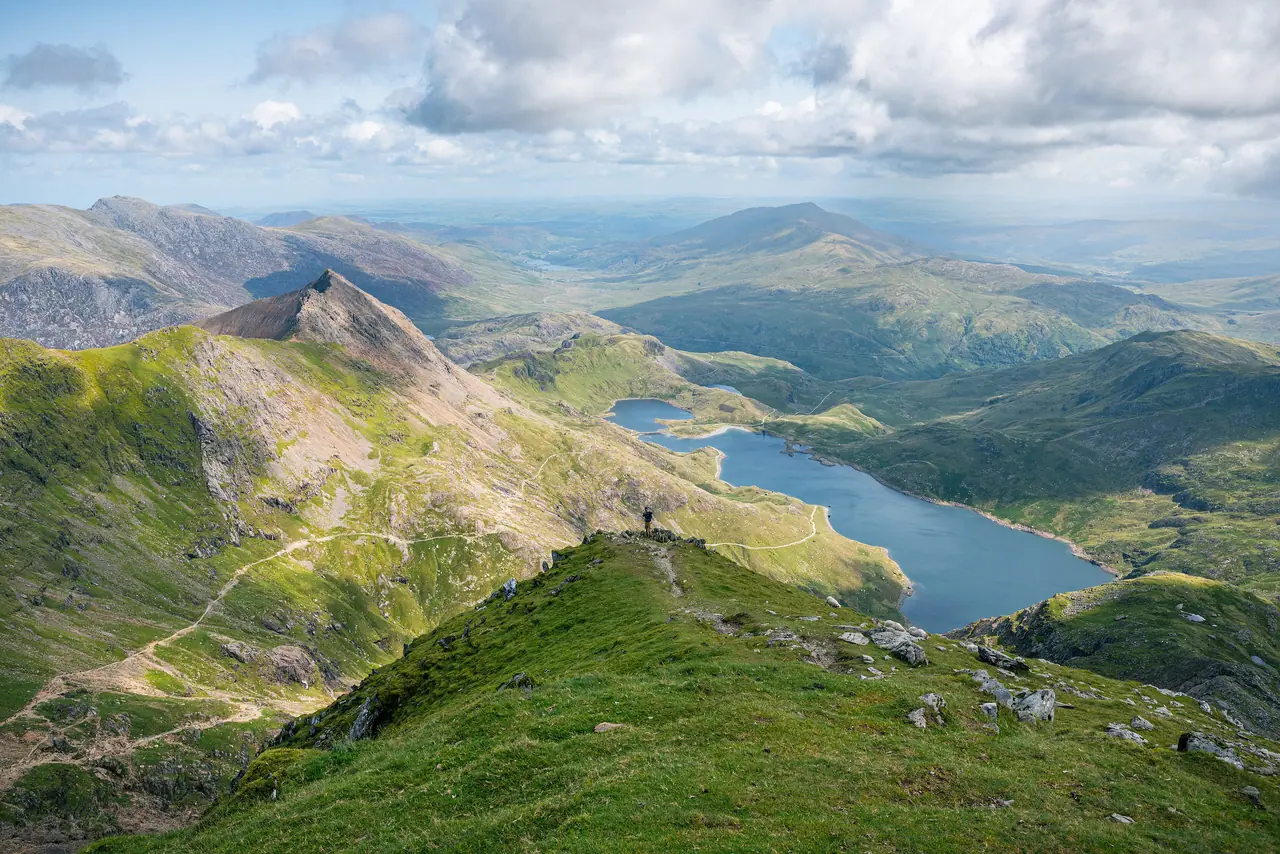
      The Llanberis Path above ClogwynPopular

      Llanberis Path

      The most gradual climb and the usual first-time route, though the longest. It climbs parallel with the railway.

      Distance14.5 km
      Ascent975 m
      Time7 hrs
      Llanberis Path guide →
      The Pyg Track at Bwlch y MochPopular

      Pyg Track

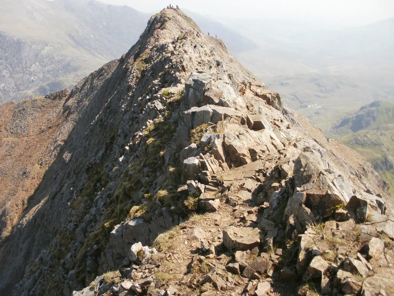
      The shortest of the six, from Pen y Pass. Nearby Crib Goch is a 500 m knife-edge ridge with no escape route.

      Distance11 km
      Ascent895 m
      Time6 hrs
      Pyg Track guide →
      Looking back to Snowdon from the Watkin PathNot popular

      Watkin Path

      The most climbing of the six, from Nant Gwynant. Pont Bethania car park can be full by 7:30am.

      Distance13 km
      Ascent1,015 m
      Time6 hrs
      Watkin Path guide →
      From the Rhyd Ddu Path: the Llechog ridge and, far off, Llyn CwellynNot popular

      Rhyd Ddu Path

      Quieter, from the west. The car park has 60 spaces and can fill by 8am. Eryri does not publish an ascent figure.

      Distance12 km
      Ascentn/a
      Time6 hrs
      Rhyd Ddu Path guide →

      Parking and buses

      Eryri car parks take card or contactless only. Pen y Pass must be pre-booked in season.

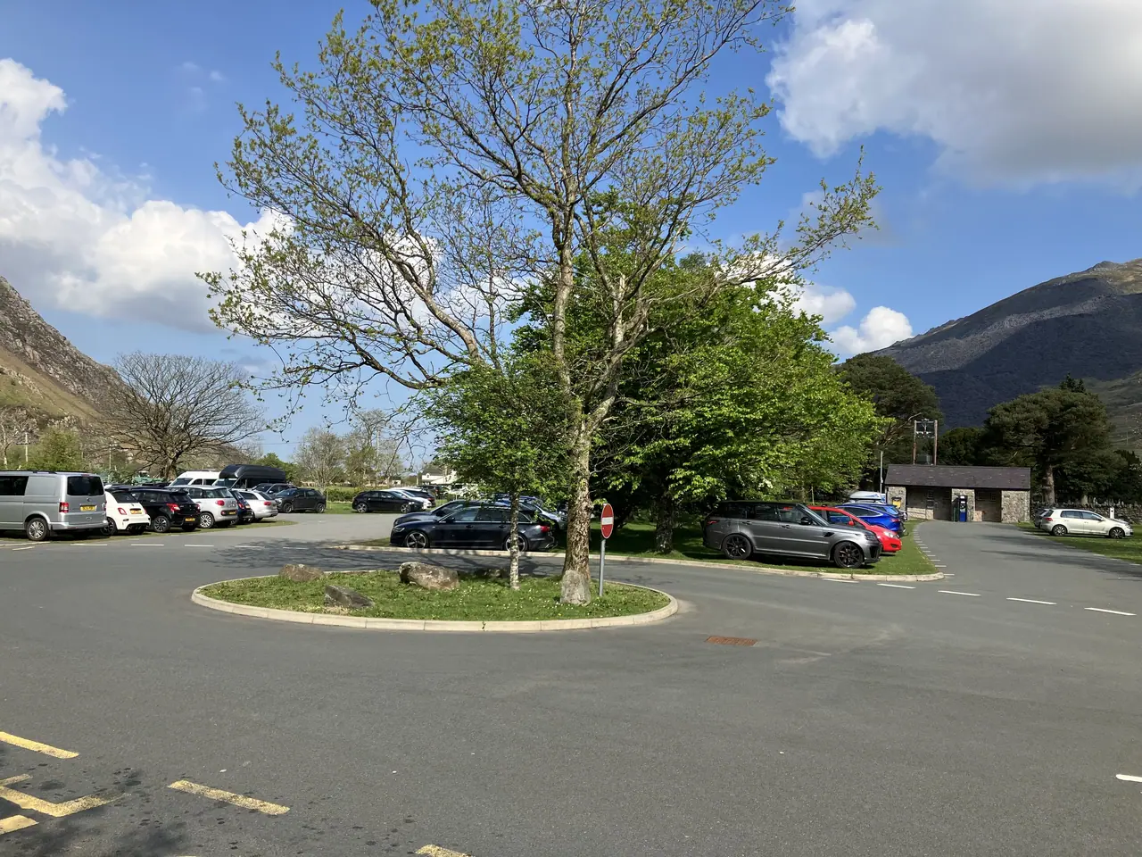
      The car park at Pen-y-Pass, almost empty
      £25up to 8 hrs

      Pen y Pass

      Pre-book on JustPark until 1 November 2026, at least an hour ahead. £35 for 8 to 12 hrs, £45 a full day. Pay and display in winter. No overnight stays.

      Pyg Track, Miners' Track

      Pen y Pass parking →

      Sherpa'r Wyddfa bus

      Buses S1 to S5 stop at the start of all six paths. Summer 2026 timetable from 28 March.

      £7.50adult day ticket
      S1
      Caernarfon, Llanberis, Pen y Pass, Betws-y-CoedLlanberis, Pyg, Miners'
      S2
      Bangor, Llanberis, Pen-y-PassLlanberis, Pyg, Miners'
      S3
      Beddgelert, Caernarfon, DinorwigRhyd Ddu, Snowdon Ranger
      S4
      Pen-y-Pass, Beddgelert, Porthmadog, Morfa BychanWatkin
      S5
      Llanberis, Pen-y-PassPyg, Miners'

      £5 concessions and ages 5–15. £16 for up to 2 adults and 3 children. Times change by season: check the official timetable.
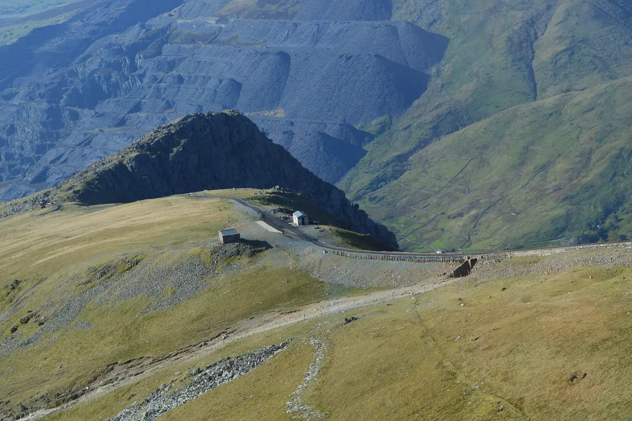
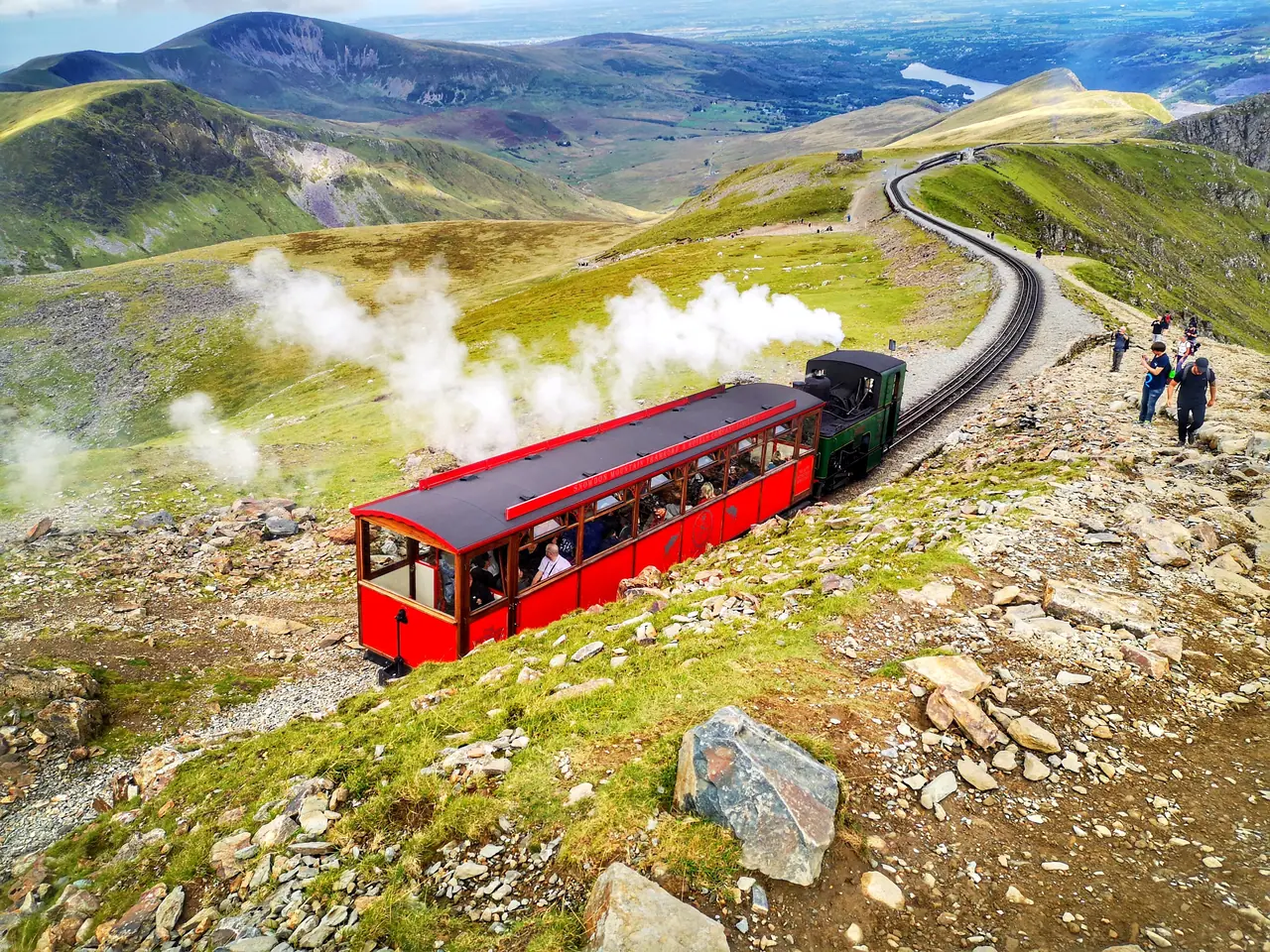
      Clogwyn station on the Snowdon Mountain Railway, seen from an up train

      Train up, walk down

      Snowdon Mountain Railway: 19–25 October to the Summit, 26 October to 1 November to Clogwyn. Last diesel 1 November 2026.

      Diesel return, summit£45 off-peak · £48 peak
      Single up, summit£35 · £38
      Heritage steam, summit£62 · £72

      Adult fares. Singles down are sold only at the summit, if seats are left.

      When it gets busy

      One-way walker counts in 2025 on five paths. August is busiest (56,869); Saturdays are the busiest day.

      October highlighted

      Eryri in pictures

      The paths, lakes and ridges you will see on the way up.
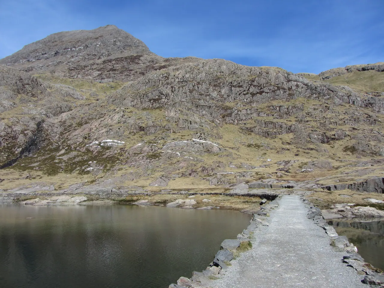
      The causeway across Llyn Llydaw, and Crib Goch
      Llyn Llydaw (Miners' Track)
      Looking back along the Crib Goch ridge
      Crib Goch
      Glaslyn from near the top of the Llanberis Path, with the Pyg Track and Miners' Track
      Glaslyn
      Bwlch y Saethau and the Watkin Path
      Watkin Path
      View over Bwlch Main to Snowdon
      Rhyd Ddu Path (Bwlch Main)
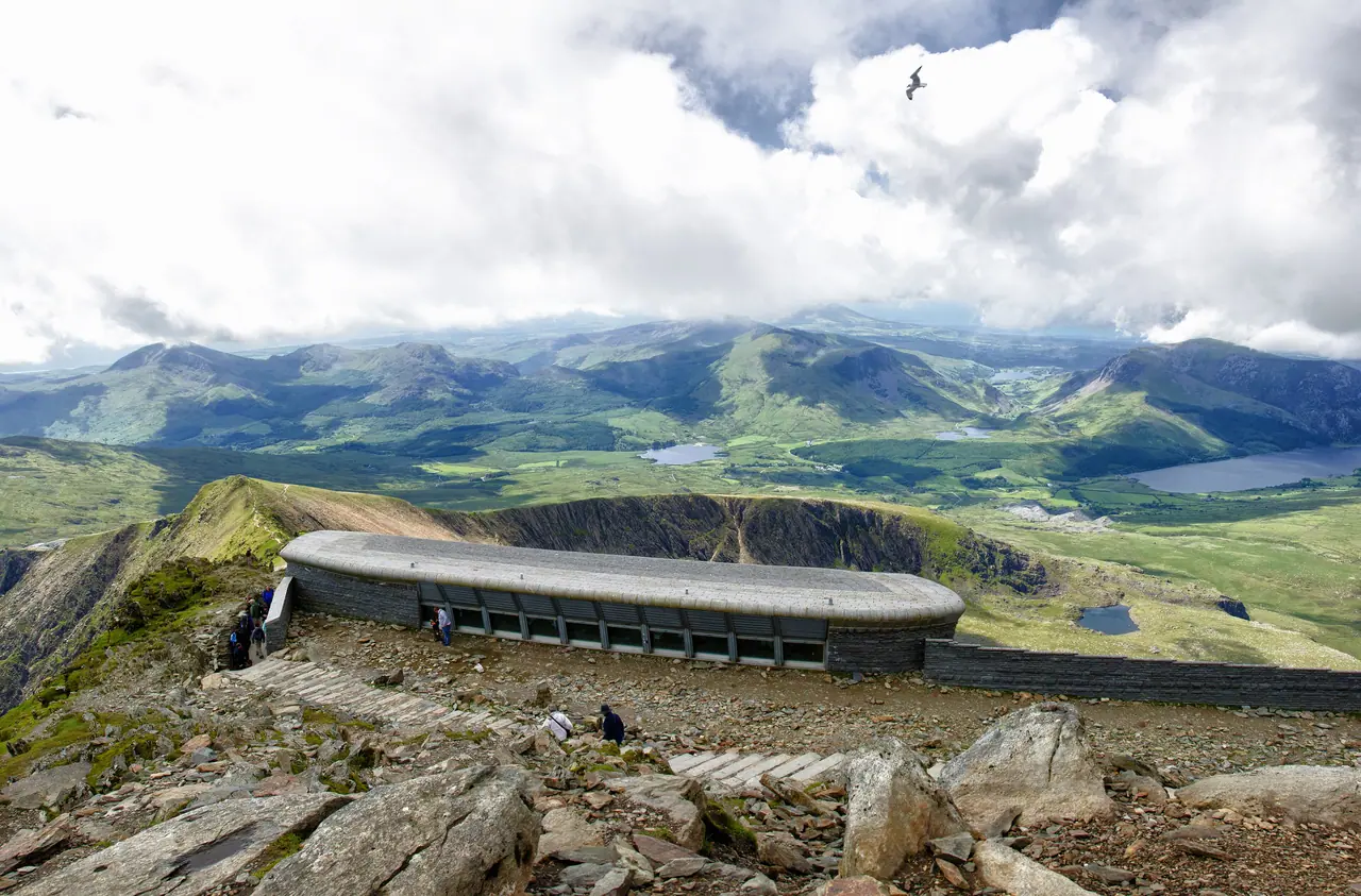
      The Hafod Eryri summit building, looking west
      Yr Wyddfa summit
      A Snowdon Mountain Railway locomotive on its way down to Clogwyn
      Snowdon Mountain Railway
      Yr Aran, with the Watkin Path in the foreground
      Watkin Path
      The Miners' Track in early winter
      Miners' Track
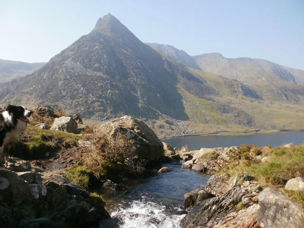
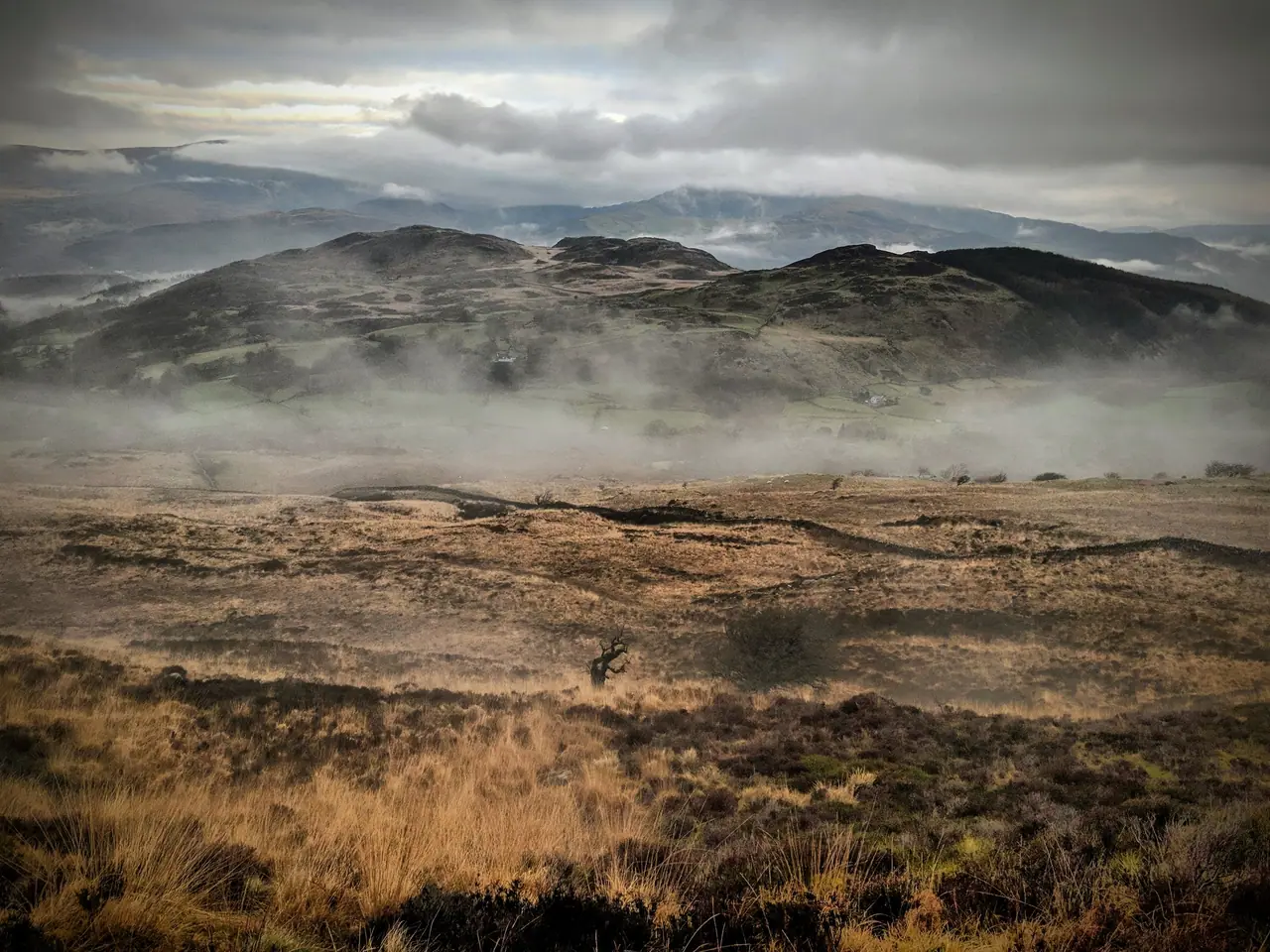
      Tryfan and Llyn Ogwen
      Tryfan, Ogwen
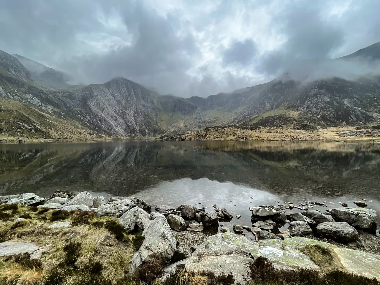
      Cwm Idwal
      Cwm Idwal
      Looking north from the Pony Path, Cadair Idris
      Cadair Idris
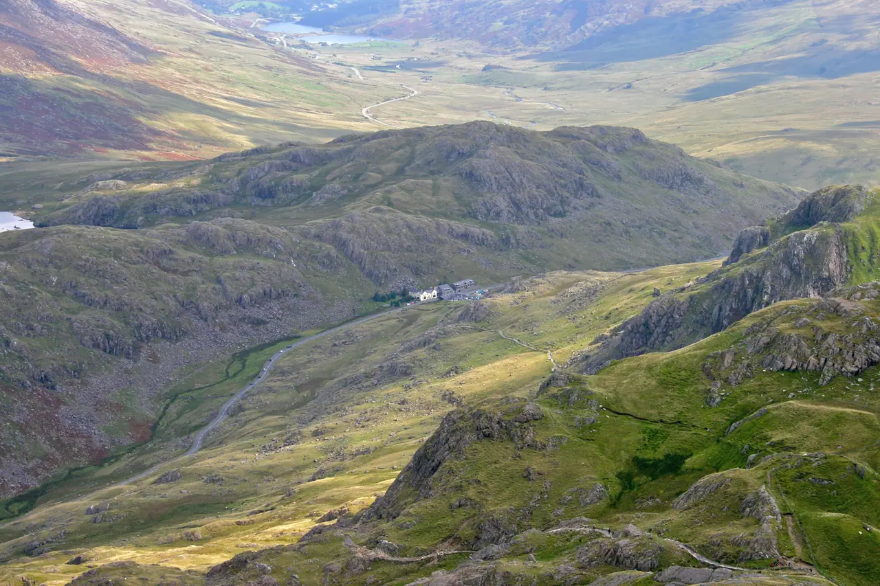
      Looking down into Pen y Pass from Crib Goch
      Pen y Pass
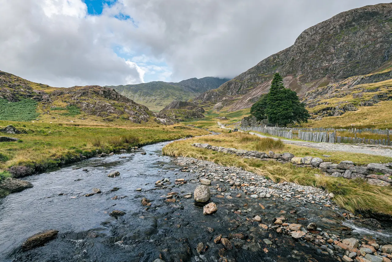
      Plas Cwm Llan and Gladstone Rock on the Watkin Path
      Watkin Path
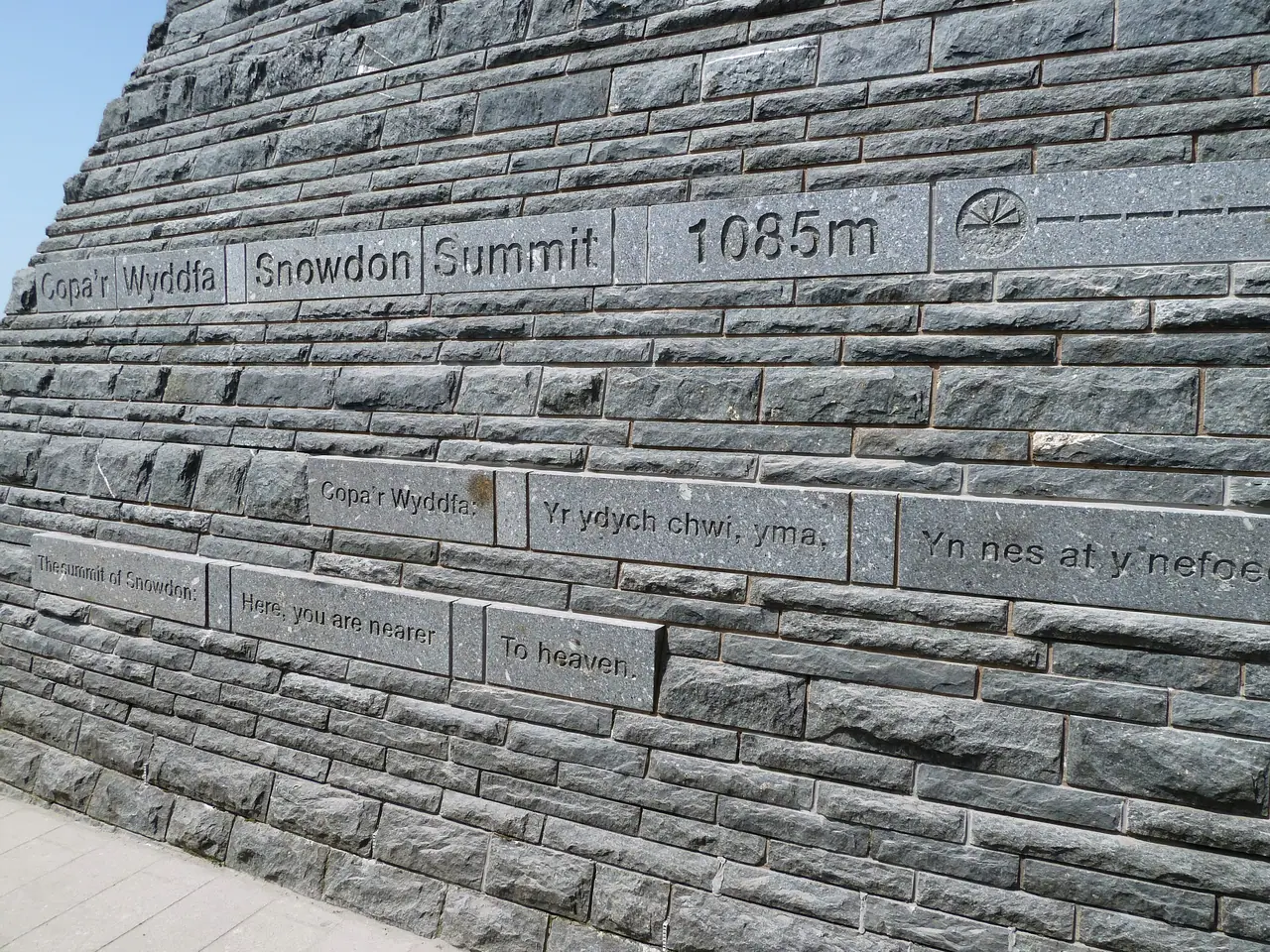
      Lettering on the wall of Hafod Eryri, the summit building
      Yr Wyddfa summit
      Llyn Bochlwyd between Y Gribin and Castell y Gwynt, with Tryfan behind
      Ogwen valley

      Your photos from the mountain

      Walked Yr Wyddfa? Share a photo and we may feature it here, credited to you. Every photo is checked by hand before it appears.

      Suggest an improvement

      Something missing, wrong or confusing? Tell us. We read every suggestion.

      Recently added from your suggestions

      Nothing yet. Ideas we build will be listed here.

      What is it about?

      Stay safe

      Three questions

      Do I have the knowledge and skills? Do I know what the weather will be like? Am I confident I have the right gear? (AdventureSmart)

      999 or 112

      Ask for the Police, then Mountain Rescue. Before you go, text "register" to 999 to register for emergency texts.

      Turn back

      Turn back if the weather turns or you are behind time. The summit will still be there.

      More ways to plan

      Guides for every way up, every car park and every season, plus other mountain walks in Eryri.

      Other Eryri walks

      Kit checklist

      • Walking boots with good grip
      • Waterproof jacket and trousers
      • Warm thermal layers
      • Hat and gloves (it is much colder at the summit)
      • Map (OS Explorer OL17) and compass, and know how to use them
      • Food and plenty to drink
      • Fully charged phone (plus a power bank)
      • Torch or head torch
      • Small first aid kit
      • Bank card for parking (Eryri car parks take card or contactless only)
      • Sun cream and sunglasses in summer
      • In winter conditions: crampons and an ice axe, and the skills to use them
      • Full kit list and safety guide

      Frequently asked questions

      Which is the easiest path up Snowdon?

      The Llanberis Path has the most gradual climb and is the usual first-time route, but it is the longest (14.5 km there and back, about 7 hours). Eryri grades all six paths Hard/Strenuous.

      How long does it take to walk up Snowdon?

      Eryri estimates 6 to 7 hours there and back for the six main paths (11 to 14.5 km). Visit Wales suggests allowing 6 to 8 hours. Slower walkers should add more.

      Where do I park for Snowdon?

      Pen y Pass (for the Pyg and Miners' tracks) must be pre-booked on JustPark until 1 November 2026, from £25 for up to 8 hours. Nant Peris park and ride costs £5 a day. Rhyd Ddu, Llyn Cwellyn and Pont Bethania cost £8 a day. Eryri car parks take card or contactless only.

      What time should I start walking up Snowdon?

      Work back from sunset: subtract the path time and at least an hour's buffer. This planner does it for you using the live sunset time and your pace.

      When is Snowdon busiest?

      August, then May and April, on the paths Eryri counted in 2025. Saturdays are the busiest day. Go early on a weekday for quieter paths.

      How high is Snowdon?

      Yr Wyddfa (Snowdon) is 1,085 metres (3,560 ft), the highest mountain in Wales.

      Is there a bus to the start of the Snowdon paths?

      Yes. Sherpa'r Wyddfa buses (S1 to S5) stop at the start of all six main paths. A day ticket costs £7.50 for an adult.